
Geospatial solutions are transforming the utilities sector by enhancing network reliability, improving asset management, and optimizing operations. Utilities—including power, water, and telecommunications—face complex challenges in maintaining vast infrastructure networks, responding to outages, and planning for future growth. Advanced Geographic Information Systems (GIS) and spatial analytics offer the tools needed to address these challenges, ensuring efficient, resilient, and sustainable service delivery.
The Role of Geospatial Solutions in Utilities
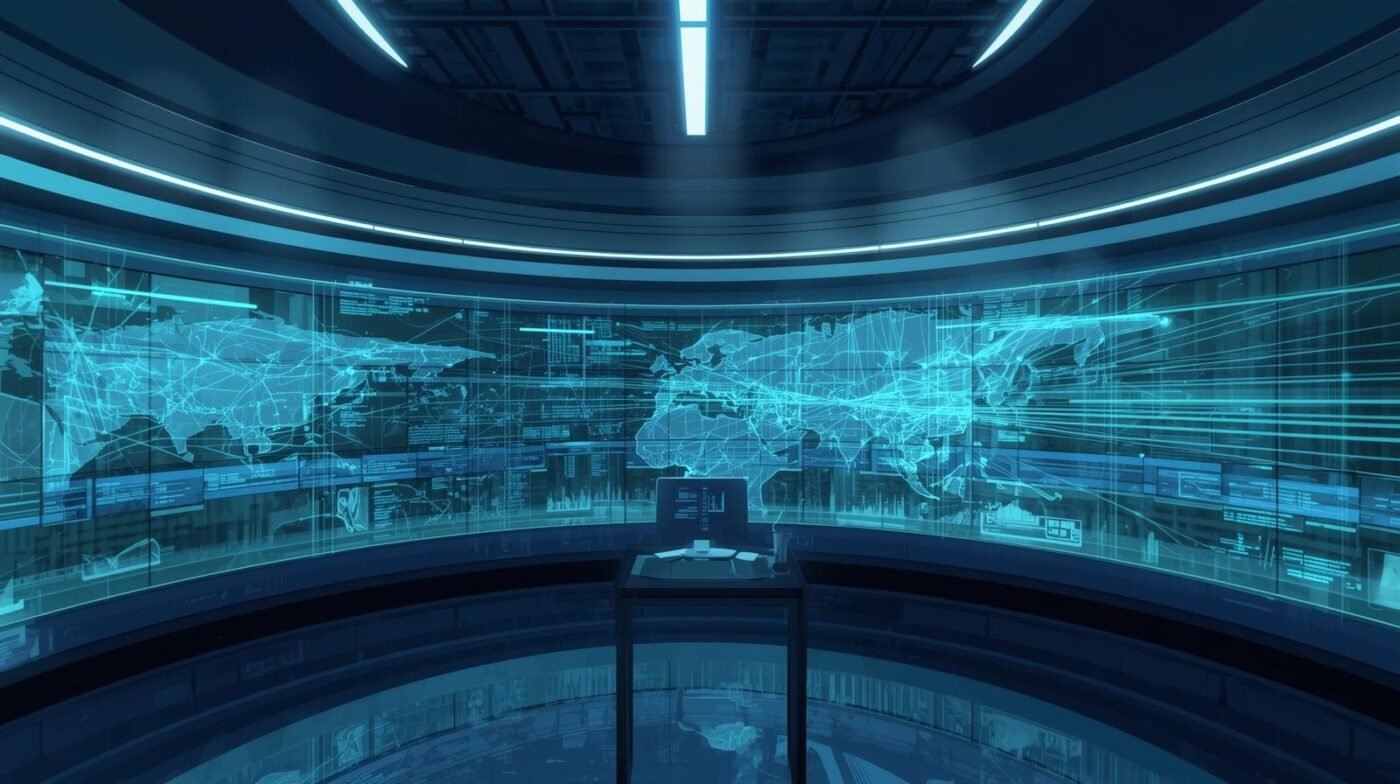
Geospatial solutions integrate location-based data from sensors, field crews, and network assets into a unified platform. This enables utilities to visualize their entire network, monitor real-time conditions, and analyze spatial relationships that impact reliability and performance. GIS platforms also allow for historical analysis, predictive modeling, and scenario planning, supporting strategic decision-making.
Key Applications for Network Reliability
1. Asset Management: Utilities rely on GIS to map the location, condition, and lifecycle of assets such as pipelines, transformers, substations, and cables. Accurate asset inventories enable proactive maintenance, reduce downtime, and extend the lifespan of critical infrastructure.
2. Outage Detection and Response: Real-time spatial data helps utilities quickly identify the location and extent of outages. By integrating data from smart meters, sensors, and customer reports, GIS platforms facilitate rapid response, efficient crew dispatch, and clear communication with affected customers.
3. System Optimization: Spatial analytics support load balancing, capacity planning, and network expansion. Utilities can model demand patterns, identify bottlenecks, and prioritize upgrades to ensure reliable service even during peak usage or extreme weather events.
4. Risk Assessment and Disaster Management: GIS enables utilities to assess vulnerability to natural hazards such as floods, storms, and earthquakes. By mapping risk zones and overlaying infrastructure data, utilities can develop targeted mitigation strategies and improve disaster preparedness.
5. Regulatory Compliance: Utilities must comply with regulations governing safety, environmental impact, and service quality. GIS simplifies reporting by automating data collection, analysis, and visualization, ensuring transparency and accountability.
Benefits of Geospatial Solutions for Utilities
– Enhanced Reliability: Real-time monitoring and predictive analytics reduce the frequency and duration of outages.
– Cost Efficiency: Optimized maintenance schedules and targeted upgrades lower operational costs and maximize asset value.
– Improved Safety: Spatial data supports safer field operations and better risk management.
– Sustainability: GIS helps utilities track resource usage, reduce waste, and minimize environmental impact.
– Better Customer Service: Accurate outage maps and efficient communication tools improve customer satisfaction and trust.
Challenges and Considerations
Implementing geospatial solutions requires investment in technology, data integration, and skilled personnel. Utilities must address data privacy, cybersecurity, and interoperability between legacy systems and new platforms. Training staff and fostering a culture of data-driven decision-making are essential for success.
Best Practices for Implementation
– Start with Clear Objectives: Define the specific reliability challenges and operational goals to address with GIS.
– Choose Scalable Solutions: Select platforms that can grow with network expansion and future technology needs.
– Prioritize Data Security: Protect sensitive infrastructure and customer data through robust cybersecurity measures.
– Foster Collaboration: Encourage cross-departmental cooperation and knowledge sharing to maximize GIS benefits.
– Invest in Training: Ensure staff are equipped to manage, analyze, and act on spatial data insights.
Future Trends
The future of geospatial solutions in utilities will be shaped by advancements in artificial intelligence, IoT, and cloud computing. AI-powered analytics will automate outage detection, asset monitoring, and risk assessment. IoT sensors will provide real-time data from the field, while cloud-based GIS platforms will enable seamless collaboration and data sharing across organizations.
Utilities are also leveraging drones and remote sensing for infrastructure inspection, vegetation management, and environmental monitoring. These technologies reduce manual labor, improve accuracy, and enhance safety for field crews.
Conclusion
Geospatial solutions are essential for enhancing network reliability in the utilities sector. By integrating spatial data into every aspect of operations, utilities can proactively manage assets, respond to outages, optimize systems, and plan for future growth. As technology evolves, utilities that embrace GIS and spatial analytics will deliver more resilient, efficient, and customer-focused services, ensuring reliable access to power, water, and communications for communities worldwide.