
Urbanization is accelerating across the globe, presenting both opportunities and challenges for city planners, policymakers, and residents. As cities expand and populations grow, the need for smarter, more sustainable urban planning becomes critical. Geospatial intelligence is emerging as a transformative tool in this context, offering data-driven insights that empower cities to make informed decisions, optimize resources, and create resilient, livable environments for the future.
### What is Geospatial Intelligence?
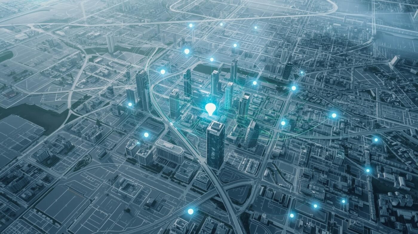
Geospatial intelligence (GEOINT) involves collecting, analyzing, and visualizing data that has a geographic or spatial component. This includes satellite imagery, aerial photography, sensor data, and geographic information system (GIS) layers. By integrating and analyzing these diverse datasets, urban planners can gain a holistic view of urban environments, understanding how people, infrastructure, and natural resources interact over space and time.
### The Role of Geospatial Intelligence in Urban Planning
GEOINT is revolutionizing urban planning in several ways:
– **Infrastructure Development:** Planners use geospatial data to identify optimal locations for new roads, utilities, and public transport. This minimizes costs, reduces environmental impact, and ensures equitable access to essential services.
– **Zoning and Land Use:** Geospatial analysis helps cities make evidence-based zoning decisions, balancing residential, commercial, and green spaces to promote healthy, vibrant communities.
– **Disaster Preparedness:** By mapping flood zones, seismic risks, and vulnerable populations, GEOINT supports emergency planning and disaster response, reducing risks and saving lives.
– **Environmental Monitoring:** Satellite and sensor data enable continuous tracking of air quality, heat islands, water resources, and vegetation, informing sustainable urban policies.
– **Smart City Initiatives:** GEOINT powers smart city technologies, from real-time traffic monitoring to waste management and energy optimization, improving quality of life for residents.
### Key Benefits of Geospatial Intelligence for Urban Planners
– **Data-Driven Decision Making:** GEOINT provides objective, up-to-date information that supports transparent and defensible planning decisions.
– **Resource Optimization:** By visualizing resource distribution and demand, cities can allocate budgets and assets more efficiently.
– **Community Engagement:** Geospatial tools enable interactive maps and visualizations, helping residents understand proposals and participate in planning processes.
– **Risk Reduction:** Early identification of hazards and vulnerabilities allows for proactive mitigation and adaptation strategies.
– **Performance Monitoring:** Planners can track the impact of policies and projects over time, making adjustments as needed to achieve desired outcomes.
### Real-World Applications of Geospatial Intelligence in Urban Planning
#### 1. Transportation and Mobility
GEOINT is used to analyze traffic flows, identify congestion hotspots, and plan new transit routes. Real-time data from sensors and mobile devices enable dynamic traffic management and promote sustainable mobility options.
#### 2. Housing and Land Development
Planners use geospatial data to assess housing needs, identify suitable development sites, and monitor construction progress. This supports affordable housing initiatives and balanced urban growth.
#### 3. Environmental Sustainability
Geospatial intelligence helps cities map green spaces, monitor pollution, and plan for climate resilience. Urban forestry, water management, and renewable energy siting all benefit from spatial analysis.
#### 4. Public Health and Safety
By mapping healthcare facilities, emergency services, and population density, GEOINT ensures equitable access and supports rapid response during crises such as pandemics or natural disasters.
#### 5. Utilities and Infrastructure Management
Cities leverage GEOINT to monitor utility networks, detect leaks or outages, and plan maintenance. This reduces costs, improves reliability, and enhances service delivery.
### The Impact of Emerging Technologies
The future of urban planning is being shaped by several technological trends:
– **Artificial Intelligence and Machine Learning:** AI-powered algorithms analyze vast geospatial datasets, identifying patterns and forecasting trends for proactive planning.
– **Internet of Things (IoT):** Connected sensors provide real-time data on everything from traffic and air quality to energy usage, enabling adaptive city management.
– **3D Mapping and Visualization:** Advanced GIS platforms allow planners to create interactive 3D models of cities, improving communication and scenario analysis.
– **Cloud Computing:** Scalable cloud infrastructure supports the storage and processing of large geospatial datasets, making advanced analytics accessible to more cities.
– **Mobile and Crowd-Sourced Data:** Smartphones and citizen apps contribute valuable, hyperlocal information for planning and monitoring urban spaces.
### Challenges and Considerations
Despite its benefits, leveraging geospatial intelligence in urban planning presents several challenges:
– **Data Privacy and Security:** Collecting and using location data requires careful attention to privacy laws and ethical standards.
– **Data Integration:** Combining datasets from multiple sources and formats can be complex and resource-intensive.
– **Technical Skills:** Urban planners may need training in GIS, remote sensing, and data analytics to fully utilize GEOINT tools.
– **Cost and Accessibility:** While technology costs are decreasing, some advanced tools and high-resolution data may still be out of reach for smaller municipalities.
### Future Trends: Towards Smarter, More Resilient Cities
1. **Participatory Planning:** Geospatial intelligence will increasingly support collaborative planning, with residents contributing data and feedback through digital platforms.
2. **Climate Adaptation:** Cities will use GEOINT to model climate impacts, plan green infrastructure, and enhance resilience to extreme weather.
3. **Digital Twins:** The creation of virtual city models, or digital twins, will enable real-time simulation and testing of urban policies and infrastructure changes.
4. **Equity and Inclusion:** Spatial analysis will help identify and address disparities in access to services, supporting more inclusive urban development.
5. **Real-Time Urban Management:** Integration of real-time data streams will allow cities to monitor conditions and respond instantly to emerging issues.
### Conclusion
Geospatial intelligence is transforming urban planning by providing the tools and insights needed to build smarter, more sustainable, and resilient cities. From infrastructure and housing to public health and climate adaptation, GEOINT empowers planners to make informed decisions that benefit both current and future generations. As technology continues to evolve, cities that invest in geospatial intelligence will be better equipped to meet the complex challenges of urbanization and create thriving, livable communities for all.