
Remote sensing has become an indispensable tool for environmental monitoring and conservation, offering scientists, policymakers, and conservationists a bird’s-eye view of our planet’s health. By collecting data from satellites, drones, and aircraft, remote sensing enables the observation and analysis of Earth’s surface and atmosphere over time. This technology has transformed how we track environmental changes, assess natural resources, and implement conservation strategies on local, regional, and global scales.
What Is Remote Sensing?
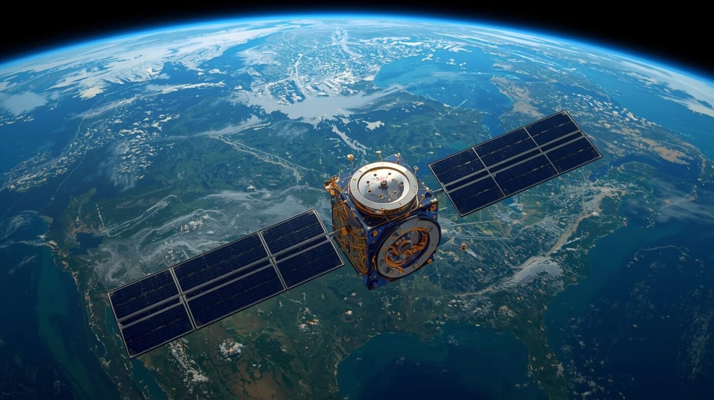
Remote sensing is the science of obtaining information about objects or areas from a distance, typically using sensors mounted on satellites or aircraft. These sensors detect reflected or emitted energy from the Earth in various wavelengths, including visible, infrared, and microwave. The data collected is processed into images and quantitative measurements, revealing patterns and trends that are often invisible to the naked eye.
Applications in Environmental Monitoring
Remote sensing plays a critical role in monitoring environmental changes such as deforestation, urbanization, desertification, and the effects of climate change. For example, satellite imagery can reveal the loss of forest cover over time, helping authorities identify illegal logging activities and prioritize reforestation efforts. In coastal areas, remote sensing tracks shoreline erosion, wetland loss, and coral reef health, providing early warning signs of environmental degradation.
In agriculture, remote sensing monitors crop health, soil moisture, and land use changes. This information helps farmers optimize irrigation, reduce the use of fertilizers and pesticides, and increase crop yields while minimizing environmental impact. Remote sensing is also used to monitor air and water quality by detecting pollutants and tracking their movement across landscapes and waterways.
Conservation and Biodiversity Protection
Conservationists use remote sensing to map and monitor habitats, track wildlife populations, and identify critical areas for protection. For instance, satellite data can pinpoint regions where poaching or habitat destruction threatens endangered species. By integrating remote sensing data with field surveys and geographic information systems (GIS), conservation organizations can make informed decisions about where to focus their efforts.
Remote sensing also plays a key role in managing protected areas and national parks. Park managers use satellite imagery to detect illegal encroachment, monitor fire outbreaks, and assess the effectiveness of conservation interventions. This technology allows for rapid response to threats and long-term planning for ecosystem restoration.
Climate Change Research
One of the most significant contributions of remote sensing is to climate change research. Satellites continuously monitor variables such as sea surface temperature, ice cover, greenhouse gas concentrations, and vegetation dynamics. This data is essential for building climate models, predicting future scenarios, and designing mitigation and adaptation strategies.
Remote sensing has revealed alarming trends, such as the rapid melting of polar ice caps, shifting vegetation zones, and the increasing frequency of extreme weather events. These insights inform global climate policy and support international agreements aimed at reducing carbon emissions and preserving biodiversity.
Technological Advances and Accessibility
Recent advances in remote sensing technology have made it more accessible and affordable. High-resolution satellite imagery, drone-based sensors, and open-source data platforms have democratized access to environmental information. Governments, NGOs, researchers, and even citizen scientists can now monitor changes in their local environment with unprecedented detail.
The integration of artificial intelligence (AI) and machine learning with remote sensing data has further enhanced its potential. Automated image analysis can quickly detect patterns, classify land cover, and identify anomalies, enabling faster and more accurate assessments.
Challenges and Limitations
Despite its many advantages, remote sensing does face challenges. Cloud cover can obscure satellite images, especially in tropical regions. The interpretation of remote sensing data requires specialized expertise and ground-truthing to validate findings. Additionally, the sheer volume of data generated can be overwhelming, necessitating robust data management and processing capabilities.
The Future of Remote Sensing in Conservation
The future of remote sensing for environmental monitoring and conservation is bright. As technology advances, we can expect even higher resolution imagery, more frequent data collection, and improved analytical tools. These developments will enable more precise tracking of environmental changes and faster responses to emerging threats.
Collaboration between governments, the private sector, and the scientific community will be crucial for maximizing the benefits of remote sensing. Open data initiatives and shared platforms will facilitate global cooperation on pressing environmental issues.
Conclusion
Remote sensing has revolutionized our ability to monitor and protect the environment. From tracking deforestation and managing natural disasters to safeguarding biodiversity and informing climate policy, this technology provides the data and insights needed for effective conservation. As we face growing environmental challenges, remote sensing will remain at the forefront of efforts to understand, preserve, and restore our planet’s ecosystems.