
Case Studies
Explore how Astraspex delivers measurable impact for clients through advanced geospatial intelligence and analytics. Below, you’ll find detailed case studies highlighting our approach, implementation, challenges, and the transformative outcomes achieved in four major domains.
1. Smart Grid Asset Mapping: Revolutionizing Utility Network Management Background & Challenge
Modern utilities face unprecedented challenges as they manage increasingly complex and aging infrastructure. The client, a leading regional utility provider, was responsible for maintaining thousands of kilometers of electrical lines, substations, and distribution assets across urban and rural environments. Frequent outages, asset misplacement, and inefficient maintenance scheduling led to customer dissatisfaction, regulatory scrutiny, and rising operational costs.
Manual inspection methods were slow, labor-intensive, and often failed to provide a holistic view of the grid’s health. The company needed a solution that would enable real-time monitoring, predictive maintenance, and strategic planning.
Astraspex Solution
Astraspex implemented a comprehensive smart grid asset mapping solution, integrating high-resolution satellite imagery, drone-based surveys, and IoT sensor data. The project’s foundation was a digital twin of the entire grid, capturing every asset’s location, condition, and environment. Key features included:
- Drone surveys to map substations, poles, and lines with centimeter-level accuracy.
- IoT sensors installed on critical assets to monitor temperature, vibration, and electrical load in real time.
- Centralized GIS dashboard for asset visualization, maintenance scheduling, and incident reporting.
- Predictive analytics to identify at-risk assets and optimize maintenance routes.
Implementation & Collaboration
The project began with a full network audit, followed by phased deployment of sensors and drones. Astraspex worked closely with the utility’s engineering and IT teams, ensuring seamless integration with existing systems. Training programs enabled staff to interpret geospatial analytics and leverage automated alerts.
Results & Impact
- Downtime reduced by 35% due to faster fault detection and response.
- Emergency maintenance costs cut by 40%, with proactive interventions replacing reactive repairs.
- Improved grid reliability and customer satisfaction, meeting and exceeding regulatory standards.
- Enhanced disaster resilience, as the digital twin supported scenario planning for storms and other risks.
- The solution is now being scaled to other regions and serves as a benchmark for industry best practices.
2. Precision Agriculture: Boosting Yields and Sustainability with Satellite Intelligence Background & Challenge
A large agri-business managing diverse crops across thousands of hectares faced declining yields, unpredictable weather, pest outbreaks, and inefficient resource use. Traditional field scouting was time-consuming and failed to provide timely insights for intervention.
Astraspex Solution
Astraspex deployed a precision agriculture platform leveraging satellite imagery, NDVI (Normalized Difference Vegetation Index) analysis, and in-field IoT soil sensors. The system delivered:
- Weekly crop health maps, identifying areas of stress and growth variability.
- Soil moisture analytics and weather integration for optimized irrigation.
- Early warning alerts for disease, pest infestation, and nutrient deficiencies.
- Custom dashboard for farm managers to monitor trends and make data-driven decisions.
Implementation & Collaboration
The project started with calibration of satellite data using ground truthing. IoT sensors were strategically placed in different soil types and crop zones. Agronomists and farm managers received hands-on training in using the digital platform and interpreting analytics.
Results & Impact
- 20% average increase in crop yield, attributed to targeted interventions and optimized resource use.
- 30% reduction in water and fertilizer consumption, supporting both cost savings and sustainability goals.
- Early detection of crop stress minimized losses from disease and pests.
- Enhanced reporting for compliance and sustainability certifications.
- The success of the project inspired regional adoption of precision agriculture, supporting food security and climate resilience.
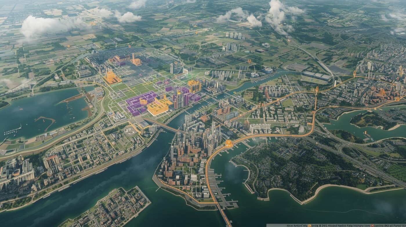
3. Urban Growth Modeling: Guiding Sustainable Expansion and Infrastructure Upgrades Background & Challenge
A rapidly growing city council was grappling with unplanned sprawl, traffic congestion, and strained infrastructure. Without integrated data, planners struggled to visualize current land use, predict future growth, and assess the impact of proposed policies.
Astraspex Solution
Astraspex delivered advanced geospatial analytics, combining:
- Satellite imagery and aerial photography for up-to-date land use mapping.
- Census and demographic data integration for population modeling.
- AI-powered predictive models simulating various growth scenarios and infrastructure needs.
- 3D city models for visualizing development impacts and public engagement.
Implementation & Collaboration
Stakeholder workshops brought together municipal departments, developers, and community groups. Data from multiple sources was integrated into a unified GIS platform. Scenario analysis tools allowed planners to test the effects of different zoning policies, transportation investments, and green space allocations.
Results & Impact
- Development of a sustainable master plan prioritizing infrastructure upgrades, green corridors, and affordable housing.
- 18% reduction in traffic congestion through optimized transit planning.
- Increased public satisfaction with urban amenities and transparent planning processes.
- The approach now serves as a template for smart city planning, enabling evidence-based decisions and resilient urban growth.
4. Disaster Response Mapping: Accelerating Relief and Recovery During Flood Events Background & Challenge
Emergency management agencies faced significant challenges during seasonal floods, including outdated maps, slow situation assessments, and inefficient resource deployment. Communities in affected areas experienced delayed relief and heightened risk.
Astraspex Solution
Astraspex delivered a rapid disaster mapping platform that integrated:
- Near real-time satellite imagery for flood extent mapping.
- Drone reconnaissance for high-resolution assessment of affected areas.
- Crowdsourced field reports to validate and supplement remote data.
- Centralized GIS dashboard for coordination among response teams, decision-makers, and field personnel.
Automated alerts and predictive models supported evacuation planning and supply chain management.
Implementation & Collaboration
Emergency personnel received training in drone operations and GIS tools. Data streams were integrated into a secure, cloud-based dashboard accessible on any device. Collaboration with local authorities and NGOs ensured comprehensive coverage and rapid response.
Results & Impact
- Response times improved by 50%, enabling faster and more targeted delivery of aid.
- More efficient restoration of critical infrastructure and services.
- Post-event analysis informed recovery efforts and strengthened preparedness for future disasters.
- The approach set a new standard for disaster resilience and is now being expanded to cover other types of emergencies.
Conclusion
These case studies reflect Astraspex’s commitment to delivering innovative, data-driven solutions that address the complex challenges faced by modern organizations and communities. Whether optimizing utility networks, enabling sustainable agriculture, guiding urban growth, or accelerating disaster response, Astraspex leverages the power of geospatial intelligence to create measurable impact.
Contact us to learn more about our success stories and how we can help your organization achieve similar results