
Integrating the Internet of Things (IoT) with geospatial analytics is revolutionizing how organizations manage assets, optimize operations, and drive innovation. By combining real-time sensor data with advanced spatial analysis, businesses can gain unprecedented insights into their operations, enhance efficiency, and make data-driven decisions that deliver measurable results. This article explores how IoT and geospatial analytics work together, their key applications, benefits, challenges, and future trends.
Understanding IoT and Geospatial Analytics
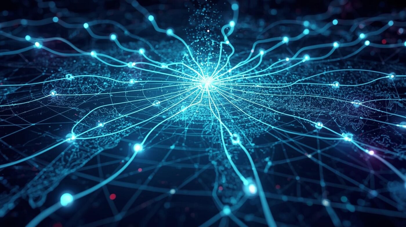
IoT refers to a network of interconnected devices—such as sensors, machines, vehicles, and wearables—that collect and transmit data over the internet. These devices generate massive volumes of data about the physical world, from temperature and humidity readings to equipment performance and location tracking. Geospatial analytics involves analyzing data that is linked to specific locations on Earth, using tools like Geographic Information Systems (GIS), remote sensing, and spatial databases.
The synergy between IoT and geospatial analytics enables organizations to not only collect data from the field but also visualize, analyze, and act on it in real time. This integration transforms raw sensor data into actionable intelligence, supporting smarter operations across industries.
Key Applications
1. Asset Tracking and Management: IoT devices equipped with GPS and other sensors can monitor the location, status, and condition of assets—from vehicles and machinery to shipping containers and livestock. Geospatial analytics provides real-time mapping and historical tracking, helping organizations reduce losses, improve utilization, and streamline logistics.
2. Predictive Maintenance: By analyzing sensor data in a spatial context, organizations can predict when equipment is likely to fail based on its usage patterns and environmental conditions. Maintenance teams can prioritize repairs and replacements, reducing downtime and extending asset lifespan.
3. Smart Cities: IoT and geospatial analytics power smart city initiatives by monitoring traffic flows, air quality, waste collection, and public safety. City planners use spatial data to optimize infrastructure, reduce congestion, and enhance quality of life for residents.
4. Environmental Monitoring: Sensors deployed in the field collect data on soil moisture, water quality, and weather conditions. Geospatial analytics helps visualize environmental changes and identify areas at risk, supporting conservation and disaster response efforts.
5. Utilities and Energy: Utility companies use IoT sensors to monitor grid performance, detect outages, and manage energy distribution. Spatial analysis identifies patterns in energy usage and pinpoints areas for infrastructure upgrades.
Benefits of Integration
– Real-Time Decision Making: The fusion of IoT and geospatial analytics delivers up-to-the-minute insights, enabling rapid response to changing conditions.
– Operational Efficiency: Automated data collection and analysis reduce manual labor, minimize errors, and speed up workflows.
– Cost Savings: Predictive maintenance and optimized resource allocation lower operational costs and extend asset value.
– Enhanced Safety: Real-time monitoring of hazardous conditions helps prevent accidents and protect workers and communities.
– Strategic Planning: Historical and spatial data analysis supports long-term planning and investment decisions.
Challenges and Considerations
While the benefits are significant, integrating IoT and geospatial analytics also presents challenges. Data security and privacy are major concerns, as connected devices can be vulnerable to cyberattacks. Ensuring data quality and interoperability between different systems is essential for reliable analytics. Organizations must also invest in skilled personnel and robust infrastructure to manage and analyze large, complex datasets.
Best Practices for Implementation
– Start with Clear Objectives: Define the business problems you want to solve with IoT and geospatial analytics.
– Choose Scalable Solutions: Select platforms and tools that can grow with your organization’s needs.
– Prioritize Data Security: Implement strong cybersecurity measures and comply with data privacy regulations.
– Foster Cross-Functional Collaboration: Involve stakeholders from IT, operations, and business units to ensure successful integration.
– Invest in Training: Equip staff with the skills needed to manage and interpret geospatial and IoT data.
Future Trends
The future of IoT and geospatial analytics is bright, with advancements in artificial intelligence (AI), 5G connectivity, and edge computing driving further innovation. AI-powered analytics will automate pattern detection and anomaly identification, while 5G networks enable faster, more reliable data transmission. Edge computing will allow for real-time processing of data at the source, reducing latency and bandwidth requirements.
As more devices become connected and spatial data becomes richer, organizations will unlock new opportunities for smarter operations, from autonomous vehicles and precision agriculture to disaster response and environmental management.
Conclusion
Integrating IoT and geospatial analytics is transforming how organizations operate, offering real-time visibility, predictive capabilities, and strategic insights. By harnessing this powerful combination, businesses and governments can drive efficiency, reduce costs, and create safer, more sustainable operations. As technology continues to evolve, those who embrace IoT and geospatial analytics will be well-positioned to lead in the era of connected intelligence.