
GIS Navigation and Mapping Solutions: Enhancing Spatial Awareness and Decision-Making
Geographic Information System (GIS) navigation and mapping solutions have become integral to modern life, powering everything from daily commutes to complex logistics and urban planning. By combining spatial data, digital maps, and powerful analytical tools, GIS solutions help users visualize, interpret, and navigate the world more effectively. Their versatility and precision are transforming industries and improving how people interact with their environments.
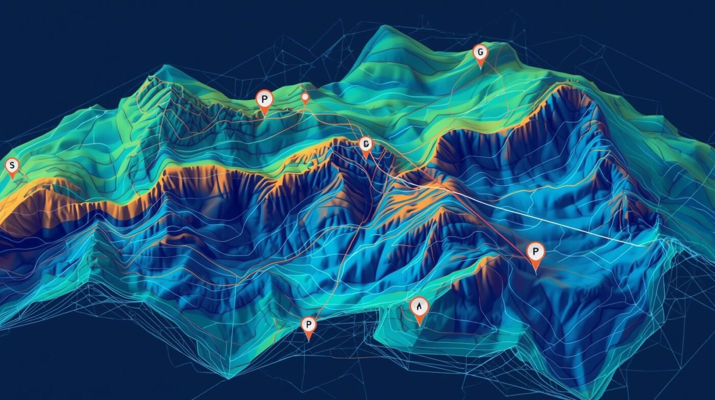
What Are GIS Navigation and Mapping Solutions?
GIS navigation and mapping solutions utilize location-based data to create digital representations of physical spaces. They integrate diverse data sources, such as satellite imagery, road networks, terrain models, and real-time traffic information, to deliver accurate and interactive maps. These systems are widely used in mobile apps, vehicle navigation, asset tracking, and infrastructure management.
Key Features and Applications
1. Real-Time Navigation:
GIS solutions provide dynamic route planning and turn-by-turn navigation, considering current traffic, road conditions, and user preferences. Logistics companies use these capabilities to optimize delivery routes, reducing fuel consumption and improving punctuality. Individuals benefit from real-time updates, alternative routes, and alerts for accidents or closures.
2. Interactive Mapping:
Users can explore detailed maps with layers that display streets, landmarks, natural features, and even demographic data. Urban planners and civil engineers rely on GIS mapping to design transportation systems, plan new developments, and assess environmental impacts. The ability to overlay multiple data sets allows for comprehensive spatial analysis.
3. Asset and Fleet Management:
Businesses use GIS navigation and mapping to track vehicles, equipment, and shipments. By integrating GPS data, managers can monitor locations, analyze routes, and respond quickly to unexpected events. This improves operational efficiency and helps ensure the safety of assets.
4. Emergency Response:
Public safety agencies depend on GIS for rapid response planning. During emergencies, GIS mapping identifies incident locations, optimal evacuation routes, and resource deployment strategies. Real-time spatial data supports effective coordination and decision-making.
5. Location-Based Services:
Many consumer applications, such as ride-sharing, food delivery, and tourism, are built on GIS navigation and mapping. These services use real-time location data to connect users with nearby resources, provide personalized recommendations, and enhance convenience.
Benefits of GIS Navigation and Mapping Solutions
- Accuracy: Integration of multiple data sources ensures precise location information and reliable maps.
- Efficiency: Optimized routing and asset tracking save time and reduce operational costs.
- Visualization: Interactive maps enable better understanding of spatial relationships and trends.
- Scalability: GIS solutions are suitable for individuals, small businesses, and large organizations.
- Data Integration: Ability to overlay environmental, social, and economic data for deeper insights.
Future Trends
GIS navigation and mapping solutions are evolving rapidly. Advances in artificial intelligence, machine learning, and sensor technology are leading to smarter maps and more predictive navigation. Autonomous vehicles, smart cities, and the Internet of Things (IoT) increasingly rely on GIS for spatial awareness and decision support. Augmented reality features are also emerging, allowing users to visualize data superimposed on the real world through mobile devices.
Conclusion
GIS navigation and mapping solutions are essential tools for modern mobility, planning, and management. By providing accurate, interactive, and intelligent spatial data, these systems empower users to navigate efficiently, make informed decisions, and unlock new opportunities. As technology continues to advance, GIS will remain at the forefront of innovation, shaping the future of how we move and interact with our surroundings.