

Advanced Geographic Information Systems (GIS) platforms are at the heart of the smart city revolution, enabling urban areas to become more efficient, sustainable, and livable. By integrating spatial data from various sources, GIS platforms help city administrators visualize, analyze, and manage everything from infrastructure and resources to public services and citizen engagement. This article explores […]
Category Archives: GIS Solutions

01
Oct
Oct
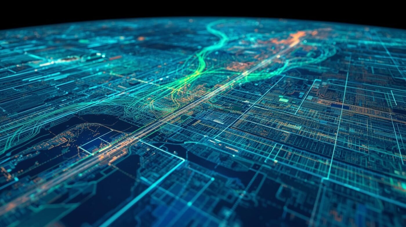
Integrating the Internet of Things (IoT) with geospatial analytics is revolutionizing how organizations manage assets, optimize operations, and drive innovation. By combining real-time sensor data with advanced spatial analysis, businesses can gain unprecedented insights into their operations, enhance efficiency, and make data-driven decisions that deliver measurable results. This article explores how IoT and geospatial analytics […]

01
Oct
Oct
Spatial data has become an essential asset in emergency response, fundamentally reshaping how agencies prepare for, respond to, and recover from disasters. Geographic Information Systems (GIS), real-time mapping, and location intelligence enable responders to make faster, more informed decisions that save lives and reduce property loss. This article explores the transformative power of spatial data […]
01
Oct
Oct
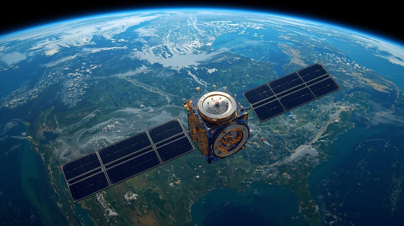
Remote sensing has become an indispensable tool for environmental monitoring and conservation, offering scientists, policymakers, and conservationists a bird’s-eye view of our planet’s health. By collecting data from satellites, drones, and aircraft, remote sensing enables the observation and analysis of Earth’s surface and atmosphere over time. This technology has transformed how we track environmental changes, […]
01
Oct
Oct
Digital twins are revolutionizing how we design, monitor, and manage physical assets and environments. At their core, digital twins are virtual replicas of physical objects, processes, or systems that are updated with real-time data. When combined with geospatial technology, digital twins become even more powerful, offering detailed, location-based insights that drive smarter decisions across industries. […]

01
Oct
Oct
Disasters, whether natural or human-made, can have devastating impacts on communities, economies, and the environment. Building resilience to such events requires more than just reactive measures; it demands proactive planning, timely response, and effective recovery strategies. Geospatial data has become a cornerstone of modern disaster management, providing critical insights that help organizations and governments prepare […]
01
Oct
Oct
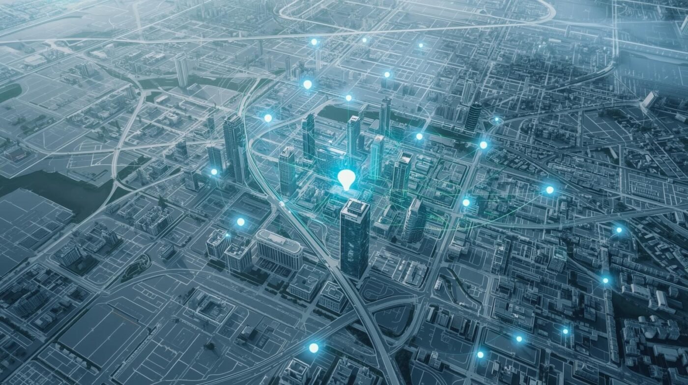
Urbanization is accelerating across the globe, presenting both opportunities and challenges for city planners, policymakers, and residents. As cities expand and populations grow, the need for smarter, more sustainable urban planning becomes critical. Geospatial intelligence is emerging as a transformative tool in this context, offering data-driven insights that empower cities to make informed decisions, optimize […]

01
Oct
Oct
Location intelligence is rapidly becoming a cornerstone of modern business strategy, offering organizations the ability to leverage spatial data for deeper insights and smarter decision-making. As our world becomes increasingly connected and data-driven, the importance of understanding the ‘where’ alongside the ‘what’ and ‘why’ is more critical than ever. The future of location intelligence promises […]
01
Oct
Oct
Agriculture has always been the backbone of human civilization, providing food, raw materials, and employment for billions of people worldwide. As the global population continues to grow and climate change poses new challenges, the need for innovative solutions in agriculture has never been greater. One technology that is revolutionizing the way we monitor, manage, and […]

01
Oct
Oct
Geospatial solutions are transforming the utilities sector by enhancing network reliability, improving asset management, and optimizing operations. Utilities—including power, water, and telecommunications—face complex challenges in maintaining vast infrastructure networks, responding to outages, and planning for future growth. Advanced Geographic Information Systems (GIS) and spatial analytics offer the tools needed to address these challenges, ensuring efficient, […]