
Land & Infra
GIS Land and Infrastructure Solutions: Building Smarter, Sustainable Communities
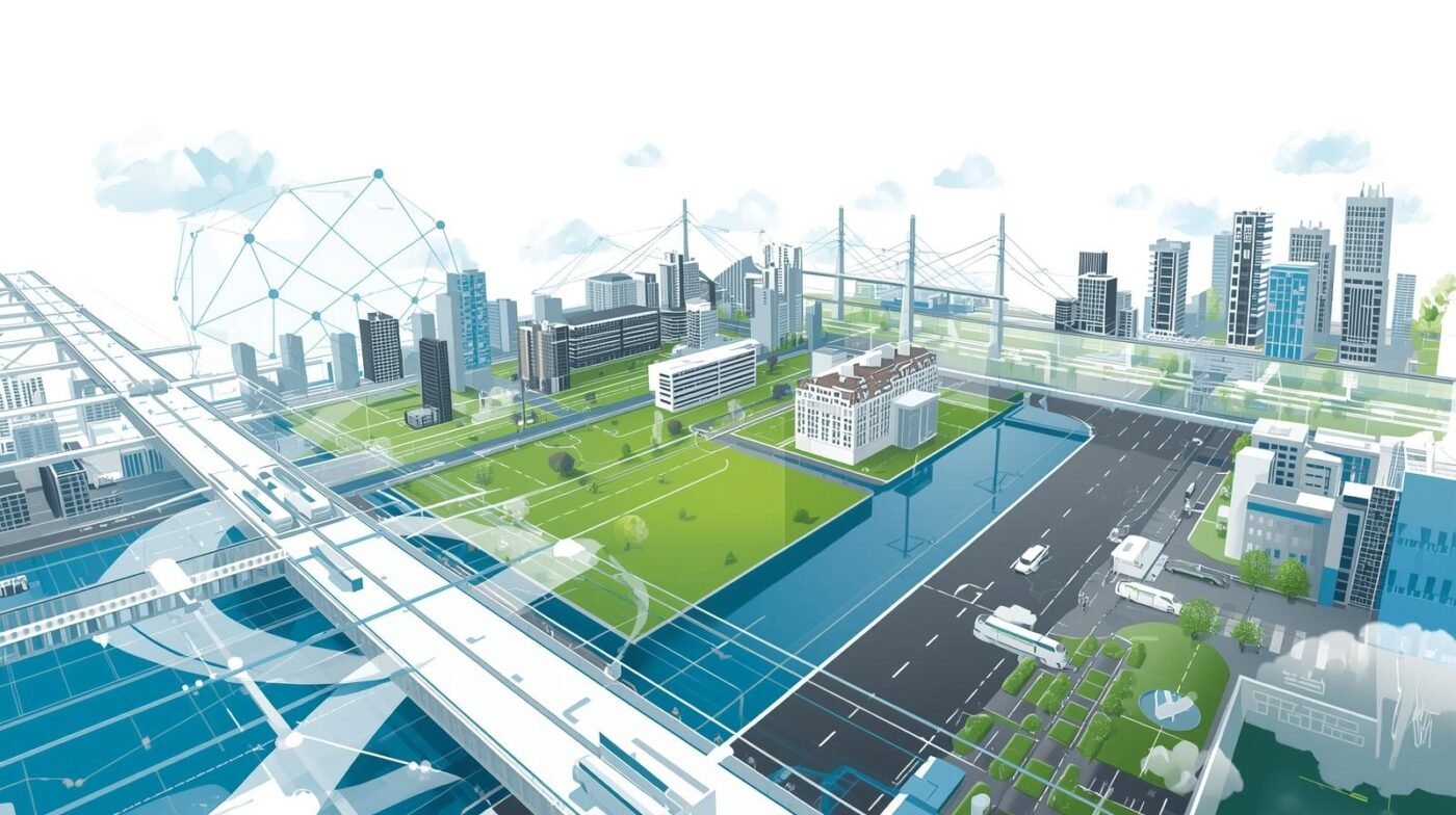
Geographic Information System (GIS) technology has become a cornerstone in land management and infrastructure development. By integrating spatial data, mapping tools, and advanced analytics, GIS land and infrastructure solutions empower planners, engineers, and decision-makers to design, monitor, and maintain the built environment more effectively. These solutions are critical for sustainable growth, efficient resource use, and resilient infrastructure systems.
What Are GIS Land and Infrastructure Solutions?
GIS land and infrastructure solutions combine geographic data with digital mapping to analyze and visualize land features, property boundaries, utilities, and infrastructure networks. This technology enables users to overlay multiple data layers—such as topography, soil types, zoning, and transportation networks—on a single map, providing a comprehensive view of the landscape. These insights are invaluable for urban planning, construction, utilities management, and environmental protection.
Key Applications
1. Land Use Planning and Zoning:
Urban planners use GIS to assess current land use, evaluate development proposals, and enforce zoning regulations. By visualizing population density, land ownership, environmental constraints, and infrastructure access, planners can make informed decisions that balance growth with sustainability. GIS also supports public participation by making land use data accessible and understandable.
2. Infrastructure Design and Asset Management:
Engineers and utility managers rely on GIS to design and monitor infrastructure such as roads, bridges, water supply, and electrical grids. GIS maps help identify optimal routes for new roads or pipelines, track the condition of existing assets, and plan maintenance activities. Asset management systems built on GIS can monitor infrastructure performance in real time, reducing downtime and extending asset lifespan.
3. Environmental Impact Assessment:
Before construction projects begin, GIS is used to assess potential impacts on the environment. By analyzing proximity to water bodies, protected habitats, or flood zones, decision-makers can avoid sensitive areas and comply with regulations. GIS also supports ongoing monitoring of environmental changes during and after development.
4. Land Records and Property Management:
GIS streamlines the management of property records, cadastral mapping, and land registration. Governments and private organizations use GIS to maintain accurate records of land ownership, boundaries, and valuations. This reduces disputes, improves transparency, and facilitates land transactions.
5. Disaster Management and Resilience Planning:
GIS plays a vital role in disaster preparedness and response. By mapping hazard zones (such as earthquakes, floods, or landslides) and critical infrastructure, authorities can develop emergency plans, prioritize investments, and coordinate relief efforts. GIS also helps communities adapt to climate change by modeling future risks and supporting resilient infrastructure design.
Benefits of GIS Land and Infrastructure Solutions
- Data Integration: Combines diverse datasets for holistic planning and management.
- Enhanced Visualization: Interactive maps make complex information accessible and actionable.
- Efficiency: Streamlines workflows, reduces redundancy, and improves resource allocation.
- Informed Decision-Making: Supports evidence-based planning for sustainable growth.
- Transparency: Improves public access to land and infrastructure information.
The Future of GIS in Land and Infrastructure
Advancements in cloud computing, mobile GIS, and real-time sensor integration are making GIS land and infrastructure solutions more powerful and accessible. As smart cities and digital twins become reality, GIS will be central to managing interconnected infrastructure systems and responding to urban challenges.
Conclusion
GIS land and infrastructure solutions are transforming how communities plan, build, and sustain their environments. By providing accurate spatial insights and fostering collaboration, GIS empowers stakeholders to create smarter, more resilient, and sustainable infrastructure for the future.