
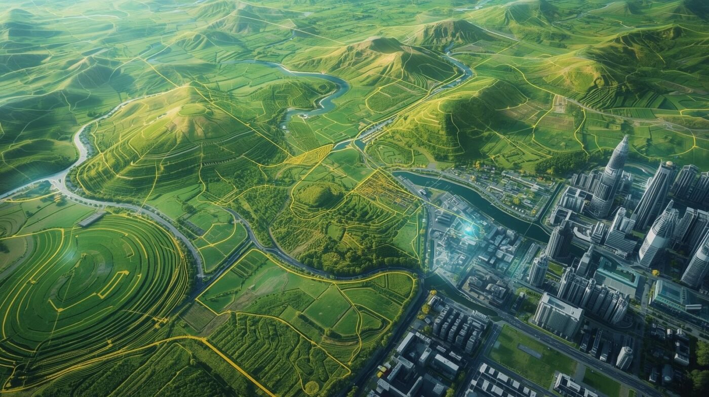
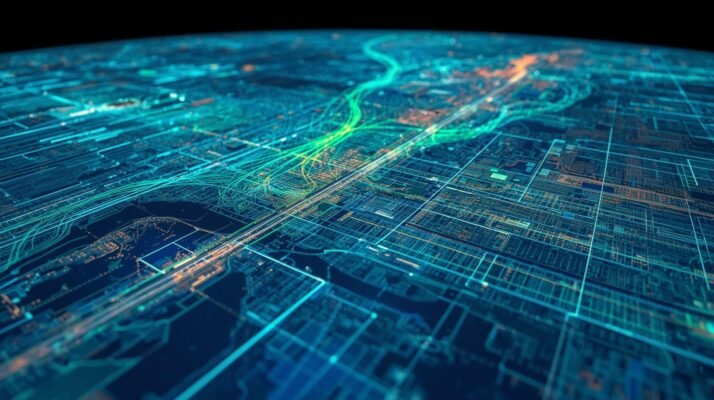
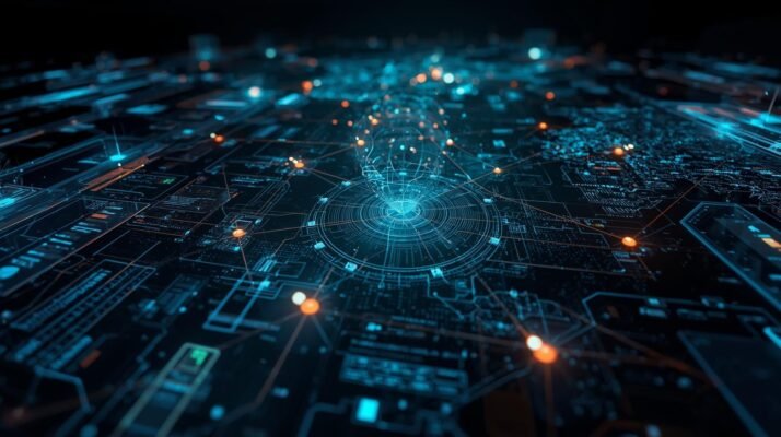
Smart City – An Overview
A smart city uses data, IoT, and connected services to improve mobility, energy efficiency, safety, governance, and residents’ quality of life.
Read More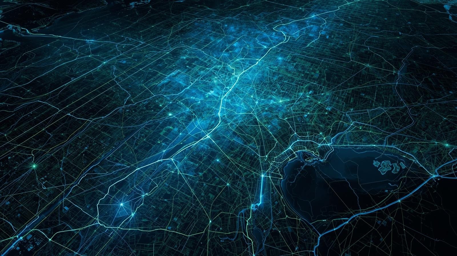
A smart city uses data, IoT, and connected services to improve mobility, energy efficiency, safety, governance, and residents’ quality of life.
Read MoreGeospatial tools map soils, crops, and moisture, enabling precision farming, yield forecasting, risk monitoring, efficient inputs, and sustainable land management.
Read More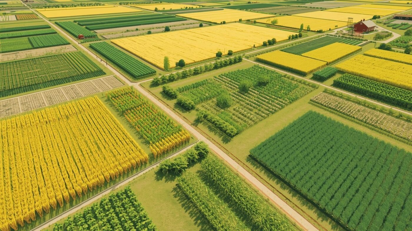
Digital twins are revolutionizing how we design, monitor, and manage physical assets and environments. At [...]
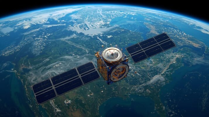
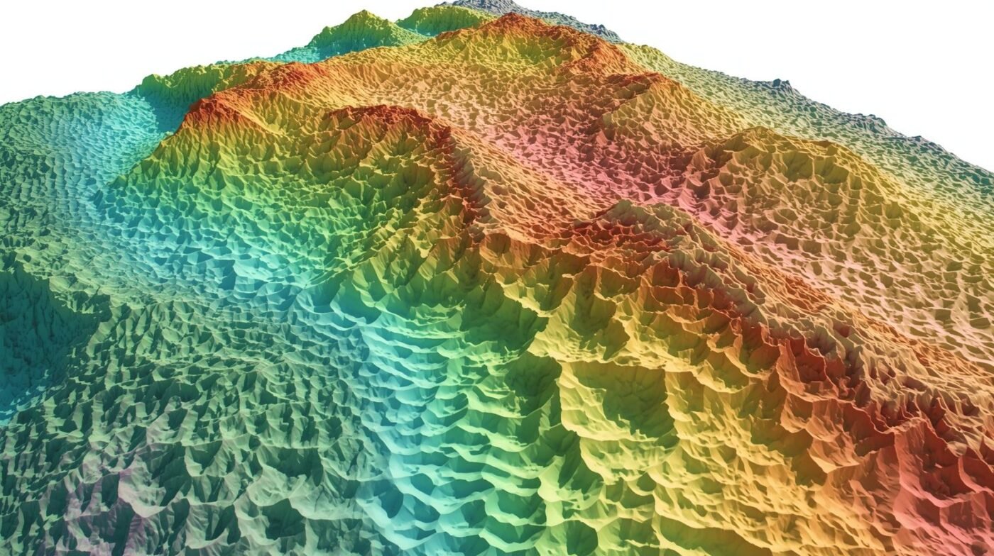
Remote sensing has become an indispensable tool for environmental monitoring and conservation, offering scientists, policymakers, [...]

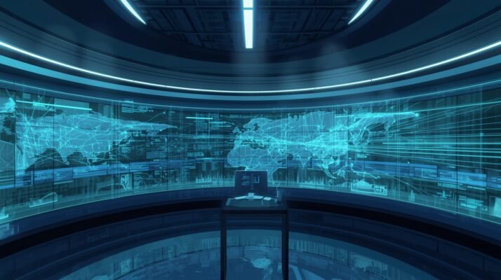
Spatial data has become an essential asset in emergency response, fundamentally reshaping how agencies prepare [...]

Integrating the Internet of Things (IoT) with geospatial analytics is revolutionizing how organizations manage assets, [...]
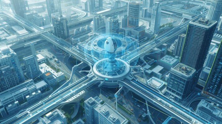
Advanced Geographic Information Systems (GIS) platforms are at the heart of the smart city revolution, [...]
Geospatial solutions are transforming the utilities sector by enhancing network reliability, improving asset management, and [...]
Agriculture has always been the backbone of human civilization, providing food, raw materials, and employment [...]
Location intelligence is rapidly becoming a cornerstone of modern business strategy, offering organizations the ability [...]